Pictures of Colombo Fort

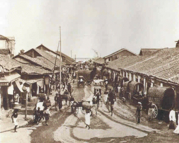
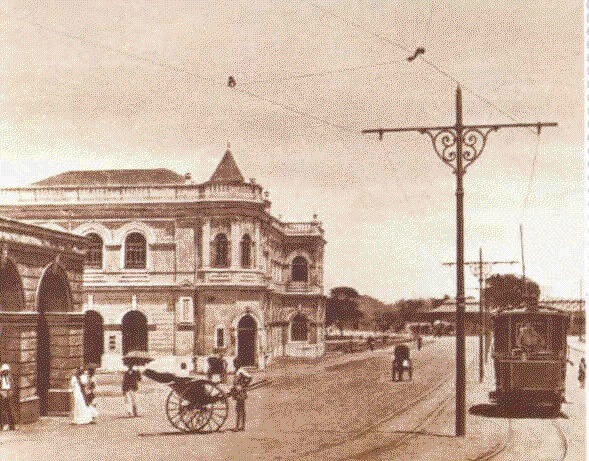
Early picture of Prince Street, Fort, Colombo 1 facing the Pettah with Grindlays Bank building on the far left. Electrically driven tram-car was used as public transport in the business areas of Fort, Pettah, & Hultsdorf. Rickshaw puller on the left waiting for his fare.


Upper Chatham Street, Fort, Colombo 1, leading to the Indian Ocean on the Western Coast. Bullock carts lined up along the stretch of shops was used as the mode of transport of goods and people.


Chatham Street in Fort, Colombo 1


Later view towards the Pettah from the intersection of Prince Street and York Street, Fort, Colombo 1. Grindlays Bank building and Ghafoor Building, with two additional floors, is visible on the left facing the Bristol Building and YMBA building on the right. Cargills building is visible on the near right besides the tree and the parked vintage cars.